Hunderburton Adventures

|

A record of wanderings through Latin America

Archive for the ‘Hiking’ Category

Jungle trek to Machu Picchu

Tuesday, February 7th, 2012

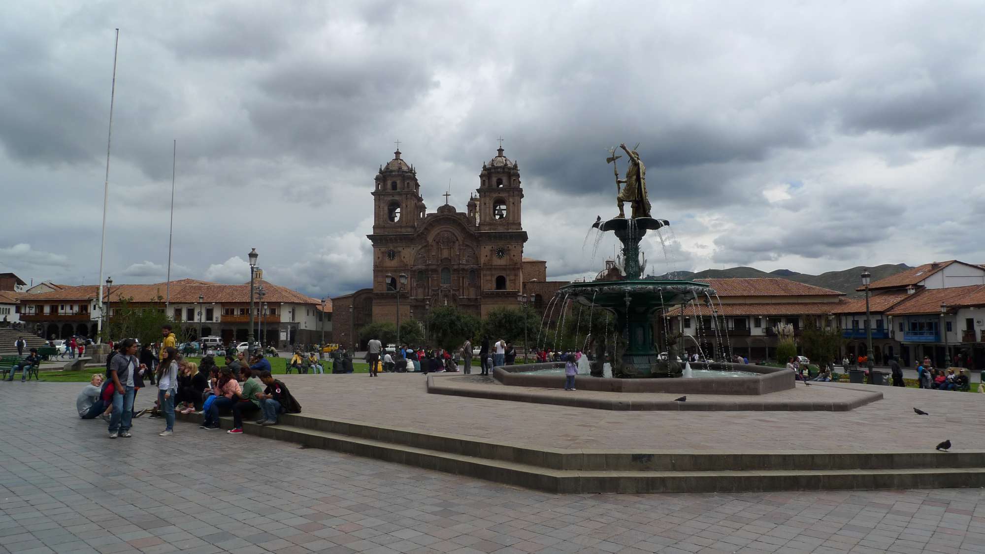
So we have left Bolivia for Cusco (or Cuzco) in Peru. Cusco is the second largest city in Peru (after Lima) and was the center of the Incan empire until the Spanish conquest. Now it appears to be the center of tourist activity for Peru with the concept of walking the streets without being offered cheap massages, shoe shines, tours and other services an impossible prospect. While this large amount of tourism is the first thing I noticed, the second was the beauty of the place. Like La Paz it is in the mountains and the city is framed by them; well, probably at a lower altitude they would be called rolling hills but either way they lend Cusco a beautiful backdrop. The beauty of the place is extended to the city itself with many a plaza and a generous proportioning of Spanish colonial buildings which would not feel out of place in a European city if it weren’t for the Machu picchu pictures everywhere. Also, even though it is only 300 odd metres lower than La Paz the air feels worlds better and we can enjoy going up stairs without horrendously loosing breathe. It also has Inca ruins within walking distance but before you get too jealous it is important to note the Spanish destroyed a lot of the ruins and also the charge for getting in is steep enough to encourage a fair number of travelers, I would imagine, to try and enjoy the ruins from a distance.

Cusco

So I guess the majority of tourists in this area have one thing in mind: Machu picchu. Local tour operators have generously appeared (in great numbers) to aid tourists in this endevour. They have concocted a multitude of options for travelers wishing to see the iconic city ruins. There exists: the single day trip, the classic inca trail, mountain treks, jungle treks etc. all leading to Machu picchu. The poor man’s version is the jungle trek and this is the option we decided on as this continent (especially Patagonia) has made us poor men (and Anna). The “Jungle trek” is advertised as being a way of getting to Machu picchu by means of “trekking, white-water rafting, mountain biking and zip lining!!”. While all these activities were offered to us (some at additional charge) only trekking and mountain biking actually contributed in getting us closer to Machu picchu; by which I mean the white-water rafting and zip lining activities don’t aid in the getting to Machu Picchu and it makes not real difference to your progress if you do them or not. One can’t help but feel a little like a victim of false advertising as you are not actually zip lining to Machu Picchu but rather zip lining and then going to Machu Picchu. I assure you, however, that when you are doing the jungle trek none of this particularly matters. I mean, after all, the feeling that a certain activity is getting you closer to Machu picchu is purely a mental perspective.

The first day of the “jungle trek” was down-hill mountain biking, similar to the death road cycle. We started at 4,300 metres altitude and rode our bikes for 3 hours downhill to just over 1,000 metres altitude. The main difference was that the road was mostly sealed and much safer. I think we all enjoyed this section of the “trek”, but got soaked head to toe courtesy of Peru’s wet season. The white-water rafting section of the trip was that afternoon and was both immensely enjoyable and instructive as it showed us all that we could, in fact, become more wet.

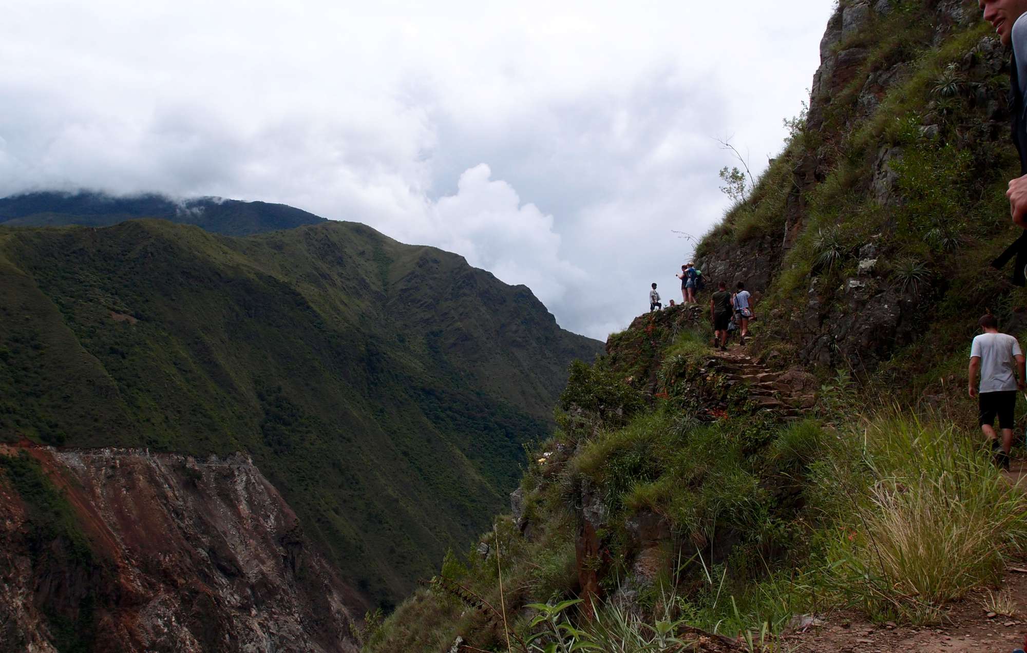
The next two days were spent trekking through mountains towards the town at the base of Machu picchu called Aguas Calientes (literally “hot waters” – apparently there are hot springs nearby). The two days trekking of course brought beautiful scenery but nothing too much in the way of interesting stories so there is not much to write about unless you are interested in the emotions felt by everyone and/or the number (and location) of blisters which felt it necessary to appear on our feet. I assume you are about as interested in these things as I am in writing about them so let’s move ahead to Aguas Calientes.

jungle trek machu picchu

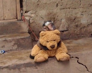
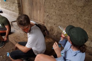
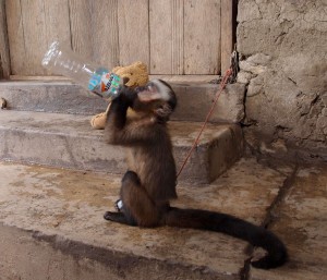
Well there maybe is one thing worth mentioning – one of the places we stopped for a drink had a monkey with which, as you can imagine, we couldn’t resist playing.

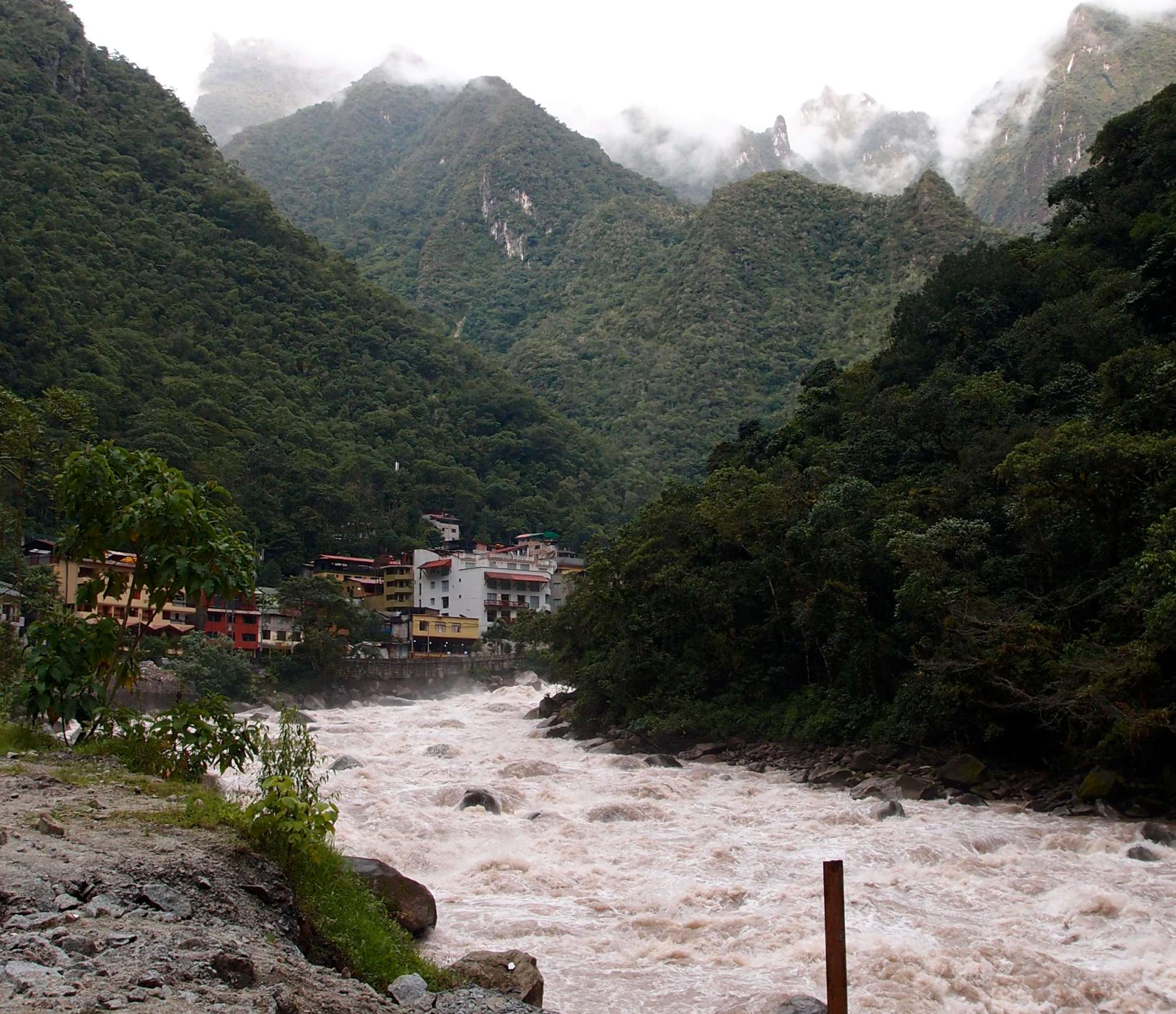
When walking towards Aguas Calientes the biggest thought I had in my mind was where in the world would the Peruvians find the space to build a town in this area. The environment was basically extremely steep mountains on either side of a raging river that really would not hesitate in killing any swimmer, with space for a train line and rarely more for a walking path (don’t worry, trains were infrequent and slow).

Though they did manage to find space because after a few more corners we found Aguas Calientes. I think we all agreed that its situation is the best of any town we have seen so far. Personally I think the more impressive aspect of the town is how it manages to not over-charge horrendously. Everything is a little more expensive than in Cusco, but not by so much that you resent anyone. After stuffing ourselves full of well earned pizza and beer we fell asleep both from exhaustion and also to prepare for the 4am rise the following day. The next day was the 4th day, otherwise known as “the day you see Machu picchu”.

Aguas Calientes Peru Machu Picchu

Aguas Calientes

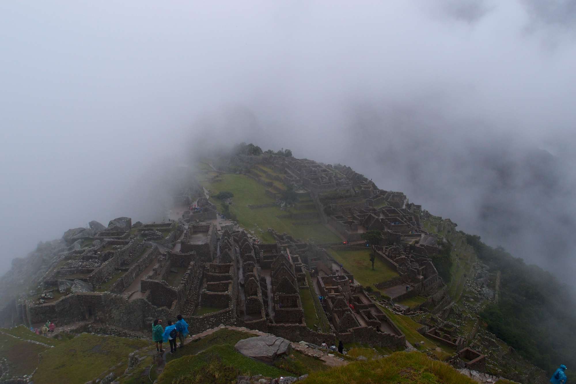
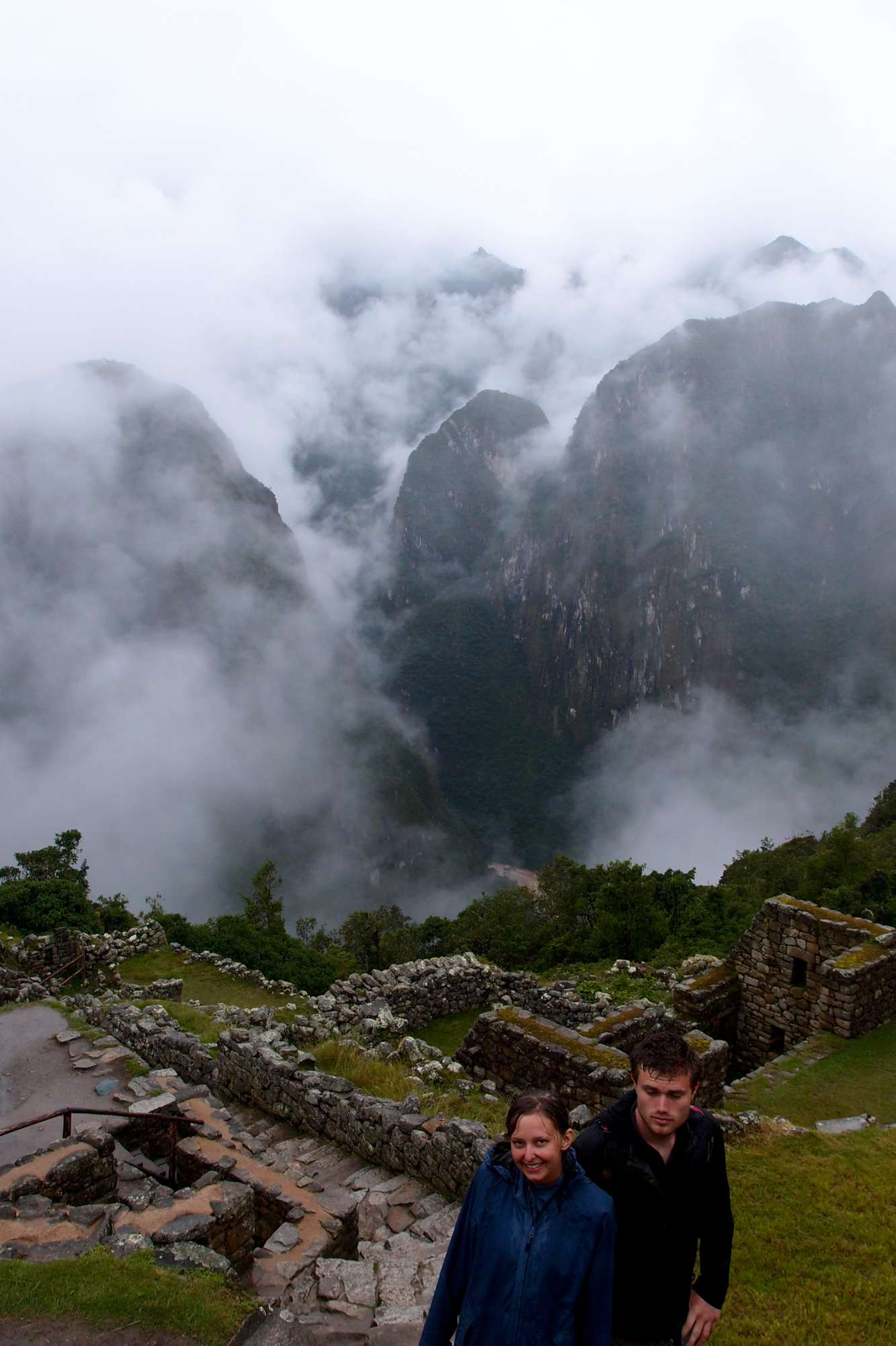
The raging river I mentioned before is quite loud and kinda makes it sound like it is constantly raining outside which is why I didn’t notice anything out of the ordinary the next morning as we were preparing for the day. But as luck would have it, rain had set in and wasn’t planning on leaving until late afternoon. After a wet hour and a half of walking of walking up steps we arrived at Machu picchu. The weather was merciful and allowed us line of sight of around 100 metres so we could see most of Machu picchu through the misty haze.

The ruins themselves are very impressive but I think the mountainous location of the Incan town is meant to be the more impressive part of the whole experience and this is precisely the part of it we could not experience. Most of the time you couldn’t make out the neighbouring mountains and when you could it was only small sections. The mist admittedly did add some atmosphere, but when you are wet and cold it is not much consolation. We had a tour of the place and after extremely overpriced coffee and food we decided to head back to Aguas Calientes to sit and wait for the weather to become better. It did, but just as we had to leave.
Volcano

Friday, December 16th, 2011

No, not the 1997 action drama starring Tommy Lee Jones; I’m talking about an actual volcano.

When I was a kid I was both fascinated and terrified by volcanoes. Just hearing what happened in Pompeii made me wonder why on earth anyone would ever consider making a town at all near a volcano. Chile has around 2000 volcanoes, approximately 59 of which are classed as “active”. The Chileans must be aware of the destructive power of volcanoes and yet they still build towns practically at the base of them. I’m not sure if it is the “better to die (almost) instantaneously than of ash inhalation and/or dead crops and polluted drinking water” mentality or because it just makes the horizon look quite nice but Chileans seem to love to be close to active volcanoes. Today we decided to get in the Chilean spirit and get as close to a volcano as is possible without dying.

As Anna mentioned in the last post, we are in Pucón which is right next to one of Chile’s most active volcanoes, Rucapillán. This is the volcano we decided to scale. It is 2800 metres high and is one of only a handful of volcanoes which actually have lava flowing around in the cone. Rucapillán has quite a history of eruptions; in recent times it erupted in1964, 1971 (leading to 15 deaths – cite wikipedia) and I think our tour guy said that it did in 1994 as well. So it is pretty active and apparently people become more worried when there isn’t smoke coming from it since it may indicate a build up of pressure.

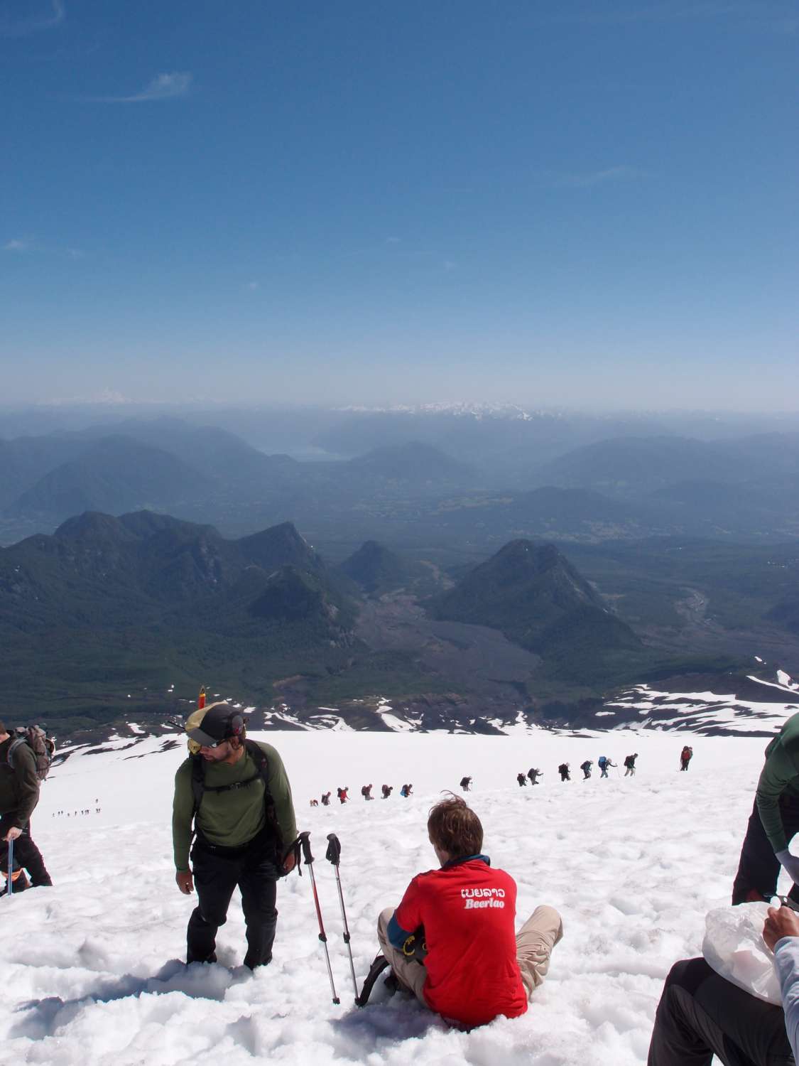
You can’t climb Rucapillán without a tour group which at first sounds ridiculous but the volcano is basically completely covered in snow all year round so climbing it involves use of ice picks and proper footwear so really it makes a lot of sense. The first section of the climb is actually fairly terrifying if you are not used to walking up steep hills on snow; it just looks like you could slip and fall so easily. After a while you do get the hang of it and the best way to do it I discovered is to just look at your feet because otherwise the height will freak you out and you may loose your footing. The good news is that if you do slip and fall odds are you will basically just roll down the snow (unless you’re unlucky and hit jagged, volcanic rock).

The climb was pretty boring; it involved basically zig-zagging up snow for 3 hours until we reached the summit. The up side is (and I probably don’t need to say this but) the view was amazing. You could see the Andes and also three other towering volcanoes in the area. We could only really steal glimpses during the climb lest we loose our footing but it was great none the less.

climbing Rucapillán

Resting on the way up Rucapillán


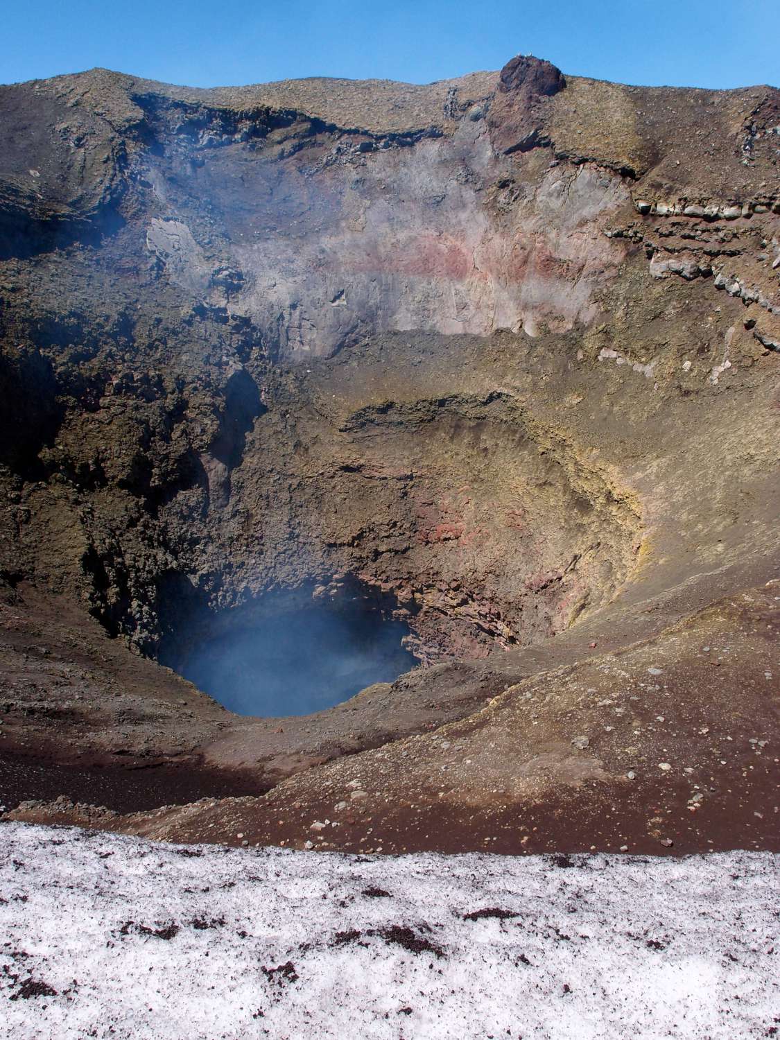
Even though we could not see any lava at the summit, we could hear it; it sounds kind of like water crashing against rocks at the beach.  Some years it is high enough to be easily seen but we weren’t that lucky. One of the tour guys took a couple of us around the crater. The wind was blowing pretty much constantly in one direction so I am not sure why no one thought there would be any issues but we basically walked straight into the path of the smoke from the crater. The smoke, while mostly is made up of water vapor, also contains a fair amount of sulfur and chlorine so it was fairly unpleasant and kind of made your breathing passages feeling like they were burning. The tour guy was too dedicated to turn back so we ran through the smoke trying to not breathe it in so we could continue hearing about neighbouring peaks. It was a little painful.

Apparently there is also a couple of glaciers on the volcano but I was unaware of this until after the climb.


View of neighbouring summits from Rucapillán

Smoke from crater

Getting down was the best bit; walking is for idiots, we had these little sled things (basically just like a plastic plate which you sit on) which we used to get down at a nice speed. It was quite exciting but you had to get used to how to control it and it gets snow everywhere. I lost control once on the way down and it happened to be while hurtling towards this slab of concrete. A tour guy saw me and stood between me and the piece of concrete; I’m not sure what he was planning, maybe just to catch me or something but I think he would have ended up more hurt than I would if I hit the concrete block. Anyway my first plan was to just stick my ice pick into the snow like they do in movies to stop myself. It managed to stop my ice pick but it did nothing for me. So I went to my backup plan which was to turn on my side and stick my shoes hard into the snow. This managed to work and I came to a halt maybe 30cm away from this guy and managed to cover him in snow. I was embarrassed about losing control but also felt a little proud of myself for having a movie-like closeness to hitting the guy.

So we managed to get down to the bottom of the volcano safely, I think it took us 30 minutes (it took 3 hours to get up). It must have been 29 degrees or something at the bottom of the volcano so we had to quickly take off all our snow gear to avoid cooking in our own juices. There still managed to be chunks of snow down the bottom as well which was a little interesting.

On an unfortunate note, Sven is the first of our group to get food poisoning and could not climb the volcano. The food culprit is unknown and could be anything.  We have more of that to look forward to before this trip is over!

So we have the rest of the day to relax in our hostel here (which by the way was excellent, stay at Ruka Pucon if you’re ever in Pucon) before heading to Puerto Montt to catch a 4 day ferry to Puerto Natales. Soon we will be more south than we have ever been before! We are not sure whether the ferry will have wifi, so it may be a few days before our next post. Adios amigos!

Shock!

Wednesday, December 14th, 2011

Shock shock shock! New site!

Well, a little different. It took us a whole bottle of Pisco Sour this afternoon to redecorate, so we hope you like it. We’re particularly pleased with the top banner, every time you load the page you will be greeted with a different photo from our trip. Overkill, perhaps, but neat right? The design was hotly debated, so let us know what you think. Suggestions welcome.

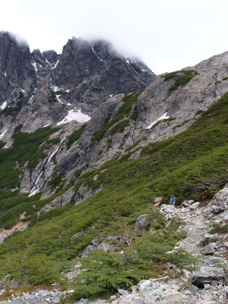
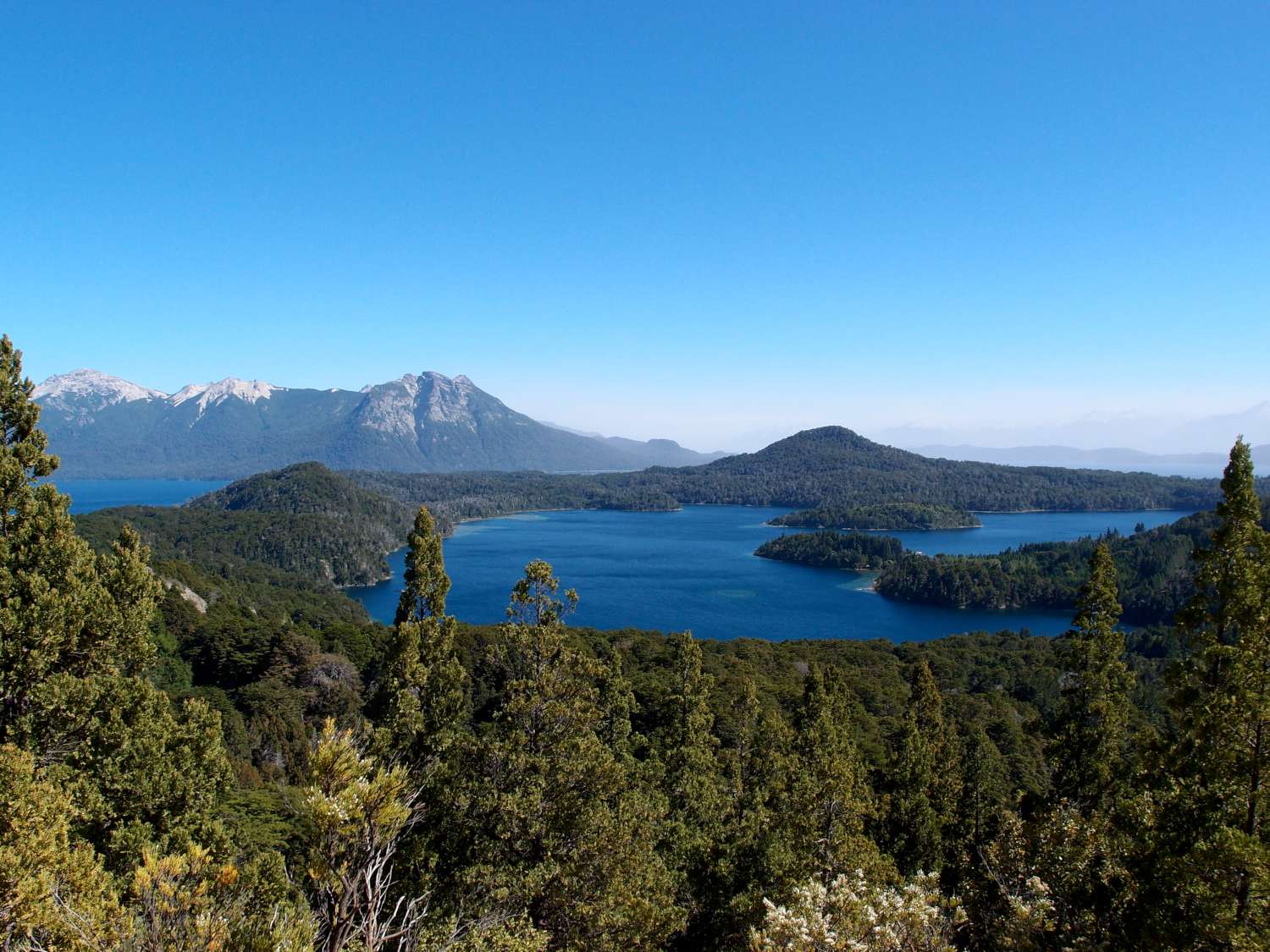
We’ve now left Bariloche, and are back in Chile in a town called Pucón. Our last day in Bariloche was spent hiking up to the refugio that we would have reached if we hadn’t chickened out on the terrifying mountain pass. Again, the walk was spectacular. Its amazing the variety of different country around Bariloche. This walk basically followed a river from where it flows into one of Bariloche’s enormous lakes, up to its source, the tranquil Laguna Negra and the snow caps that fill it. It’s beautiful country. Sven said it reminded him of Jurassic Park and I think he’s right – these great big open spaces, low green shrubbery and these colossal snow-capped cliffs with waterfalls tumbling down everywhere you look. Photos never quite capture the sense of height and space, but here were our best attempts:

Walking to Laguna Negra

Walking to Laguna Negra

Refugio Italia

Refugio Italia at Laguna Negra

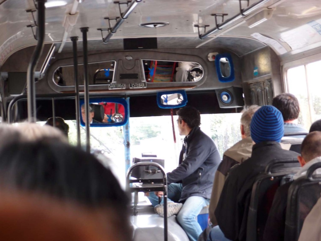
As an interesting aside, the bus that took us to and from the walk was decorated somewhat eccentrically with fluffy blue frames on the mirrors and matching metallic playboy stickers. We’ve been on this route four times now, and each time the driver has been a humourless, aging Argentinian man so I don´t know what that´s about!

Bariloche Route 10

Bariloche Route 10

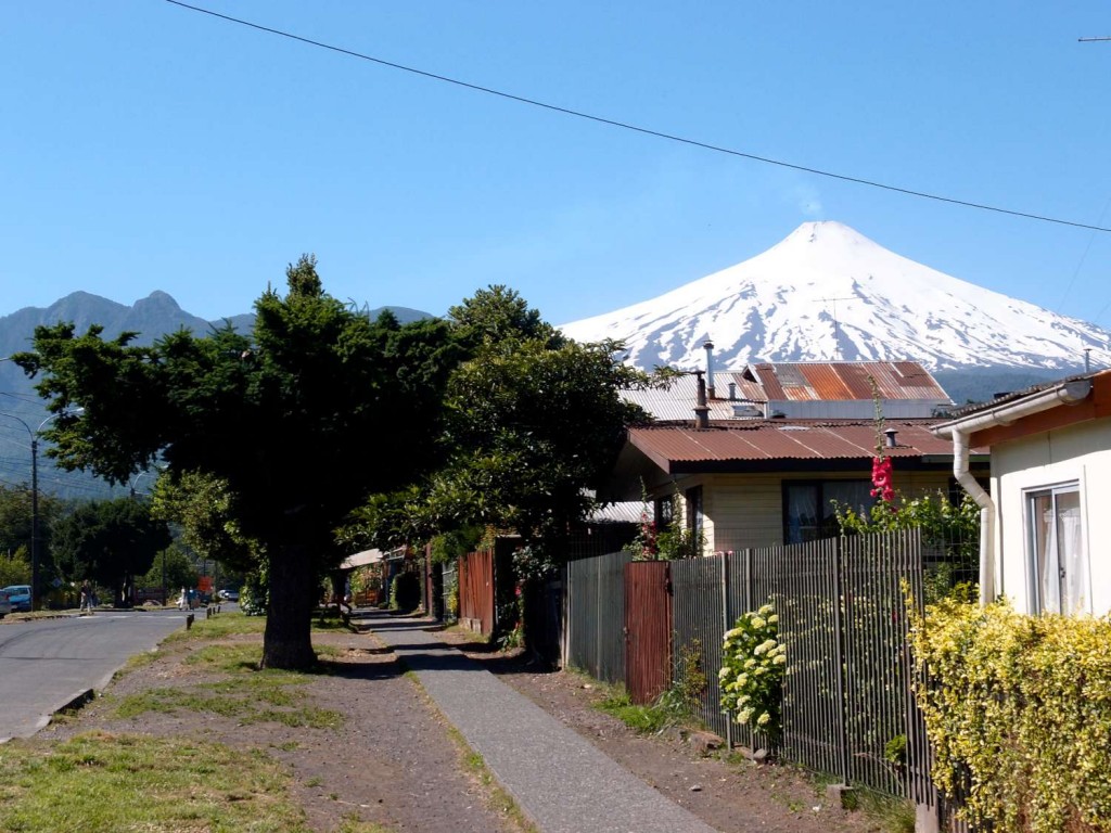
So that was Bariloche. We are all very glad that we didn’t listen to everybody’s warnings about the ash cloud and went anyway, it has been a major highlight! Pucón, where we are now, is a great little town filled with adventure activities. The ancient lonely planet we were reading at our last hostel described it as the “Queenstown of South America” and so far that seems pretty accurate. The main attraction is its volcano, one of only five in the world with a permanent lava pool which means its smoking continuously. We’ll be climbing up it tomorrow (if I don’t make myself sick from the kilo of raspberries I just bought), so stay tuned!

Pucon Volcano

Pucon Volcano

Quitters (especially Anna)

Sunday, December 11th, 2011

Hola amigos!

Just a quick post about our first overnight hike. This is mostly just an excuse to show y’all some of the great photos we’ve taken over the last few days.

The hike which we had planned to do while in Bariloche was closed due to ice, so, on the advice of the guy working at our hostel, we set out for a different nearby hike with virtually no idea of what to expect. The track started near a bizarrely located hotdog stand (maybe 10km from the closest other building), and gradually wound uphill for about a kilometer. Then, all of a sudden, the track seemed to end. Luckily, Nick’s map (and brilliant navigation skills) gave us the general direction so we persevered along some tiny animal trails up a giant hill and into a forest. The uphill didn’t stop for a looonnggg time, sometimes it was more of a climb than a hike, but eventually we made it to a clearing from which we had a pretty impressive view.

Bariloche Lopez

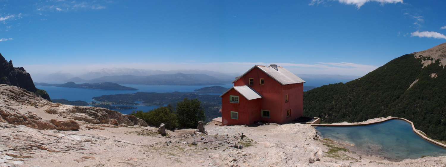
Over the day we climbed from a starting point of about 800m to roughly 2000m, where our hut was, over a distance of only 4 km. For those of you who aren’t familiar with hiking distances and heights etc; this makes for an incredibly difficult walk. The steepness made the views more impressive though, and the hut we stayed in last night is possibly the most spectacularly located building in the world.

Refugio Lopez
Refugio Lopez (the hut)

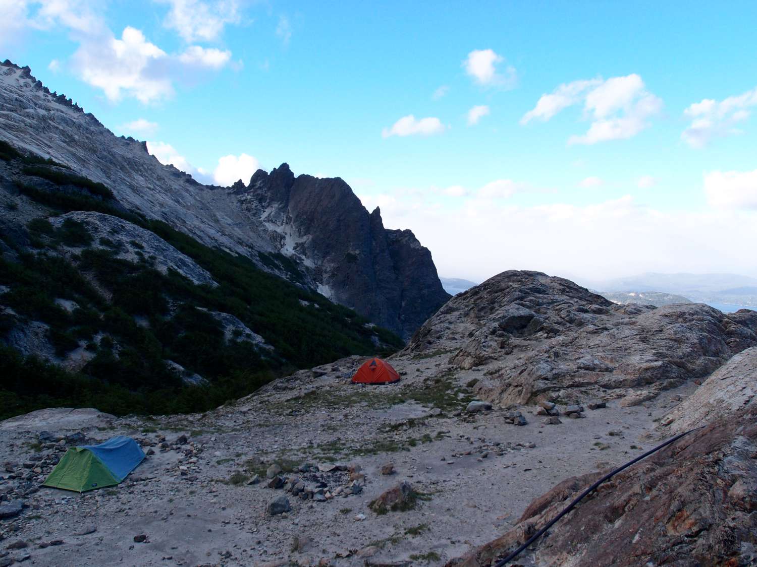
The huts here are great. They have permanent staff (none of whom speak a word of English apparently) from whom one can buy chips, drinks, wine etc. And for about $12 a night they give you a comfortable mattress to sleep on. Anna and I went with this option, but Nick (being the tough mountaineer that he is) decided to camp in the cold and (later) the wet.

Refugio Lopez Camping
Nick´s tent is the closest one

Owing to weirdly timed buses, we had to leave for the hike before 8am, and, as a result, arrived at the hut before 2pm. This gave us a lot of time to look around, so Nick and I went exploring the mountain ridge directly behind our lodging. The mountains jutted about 300-400m above the height of the hut (about the height of Mt Cootha, for those of you who are from Brisbane) and were incredibly steep. We thought we´d try some climbing for fun, but discovered about 100m up, to our horror, red markers up the mountain side indicating the direction of the following day’s hike. Unfortunately we didn’t manage to get any good photos of the mountains, but I will try my best to describe the route up. The majority of the path required hands and feet to get anywhere, and if you looked back you could see maybe 2 m of steep ledge, then nothing until the level of the hut ground 100m below (we pretty much had to walk along the top of a cliff). If we slipped at any point we would certainly plummet to our deaths. I’m not usually scared of heights, and have even dabbled in rock climbing, but I kind of freaked out at this point and had one of those “oh my god i’m actually going to die in the next few minutes” moments, so we climbed back down the mountain.

Refugio Lopez
View of the hut from the terrifying mountain ledge

Because the hike we were doing was evidently far above the level of the regular traveler, the only hikers anywhere near the hut were locals who didn’t speak any English. When we asked if the mountain was, in fact, the path, they would all say ¨si, si¨ and tell us that it was easy. So we discovered at that point that Argentinians are some weird breed of mountain people, because no reasonable person would consider the path easy, or even safe. Eventually a group of five hikers clambered down the mountain from the other side. Four of them were more Argentinians, but luckily one of them was a German guy who spoke English, which was was great because while our Spanish is fine for ordering coffee, it’s not nearly at the level needed to discuss the difficulty of mountain climbing. The German had this crazy laugh which made him sound like a psychopath from a horror movie, but he turned out to be a good guy. He told us that the climb was, in-fact, hellishly difficult, and that once you scaled the first mountain, there were a series of mountain ridges covered in ice to get across. Later that night some Israeli´s came down the mountain looking thoroughly beaten. One had a gash in his leg which was bleeding a lot, from falling down on an ice sheet, he told us. At this point we started to think we might head back the next day.

The next morning it was raining a lot, and even the hut woman told us the pass would be dangerous (when an Argentinian mountain person tells you a pass is dangerous, it must be) so we had a good excuse to turn back without feeling like quitters. So that’s what we did! YEAH TEAM! (So, dear readers, contrary to the name of this post, Anna wasn’t especially responsible for our failings…)

One other thing I wanted to fit in- we think we saw an Andean Condor flying over the hut. ¨Whats so great about seeing an Andean Condor?¨ you might be thinking? Well let me tell you! They are the largest flying animal found anywhere on earth, which is pretty amazing in my opinion. It was pretty far away, so we cant be totally sure that it was a condor, but later the German guy said that he had definitely seen one around the same time, and the thing we saw flying was about the size of a fighter jet, so there’s not a lot else it could have been.

Andes Bird
An example of a bird which is not an Andean Condor. Just another sort of bird of prey which hung around the mountains